[Prev] [Next]
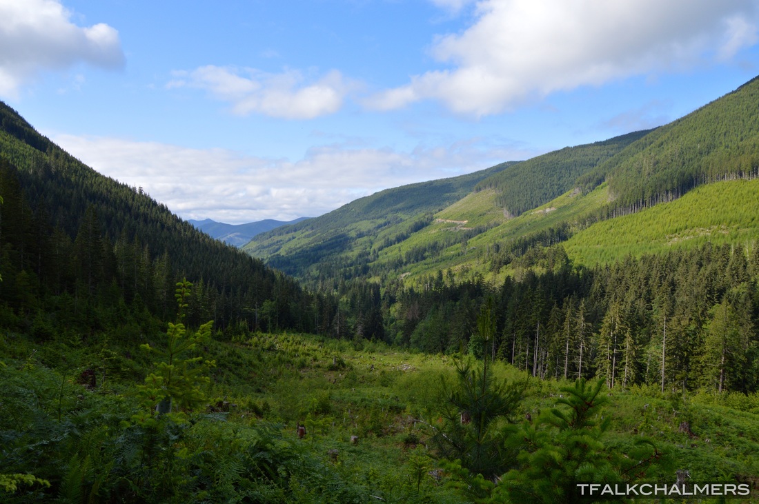
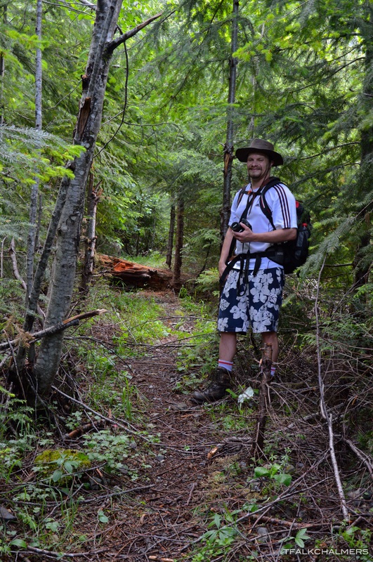
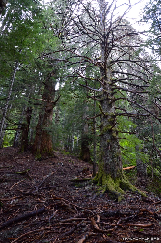
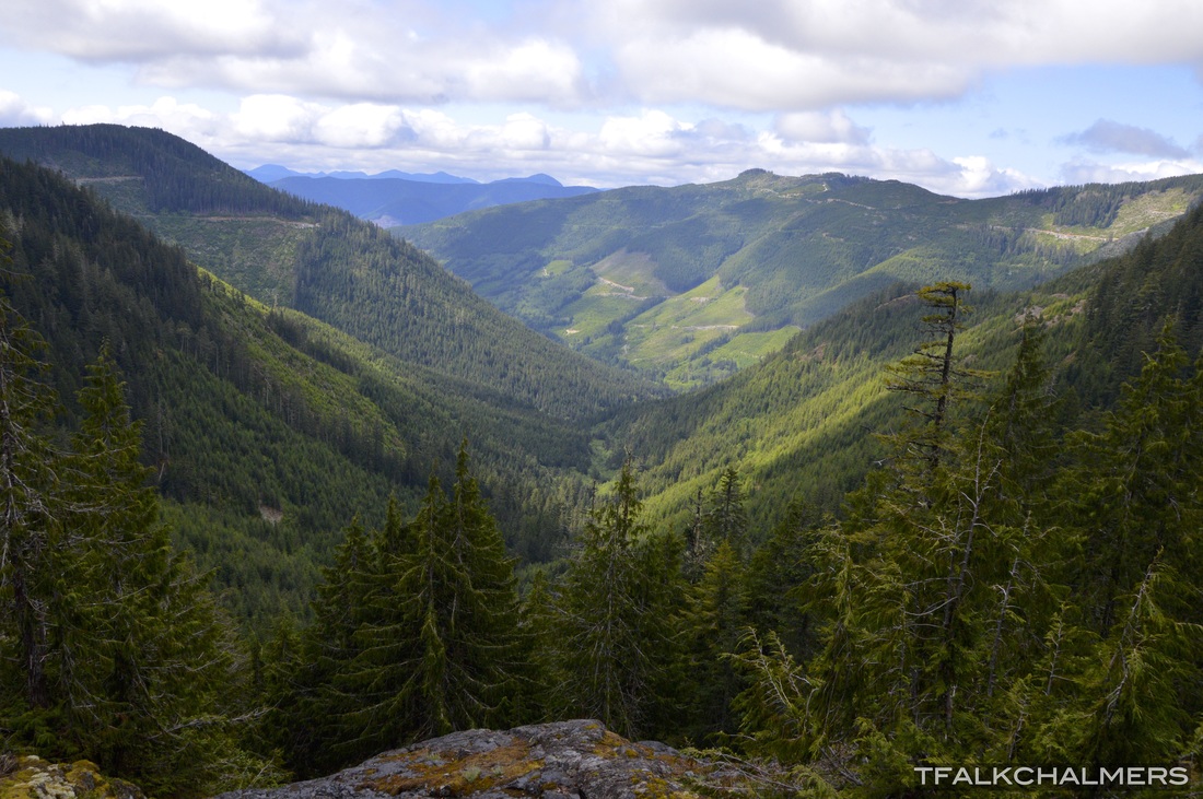
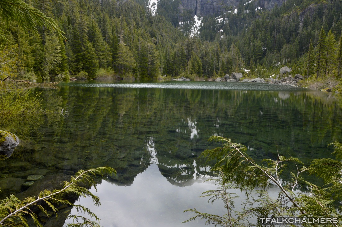
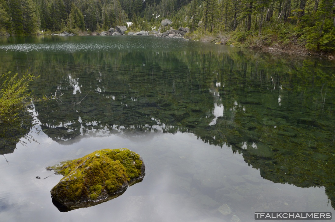
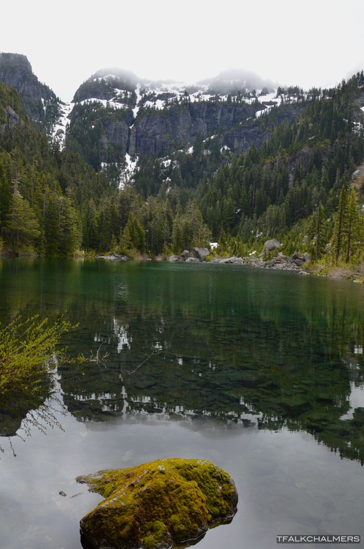
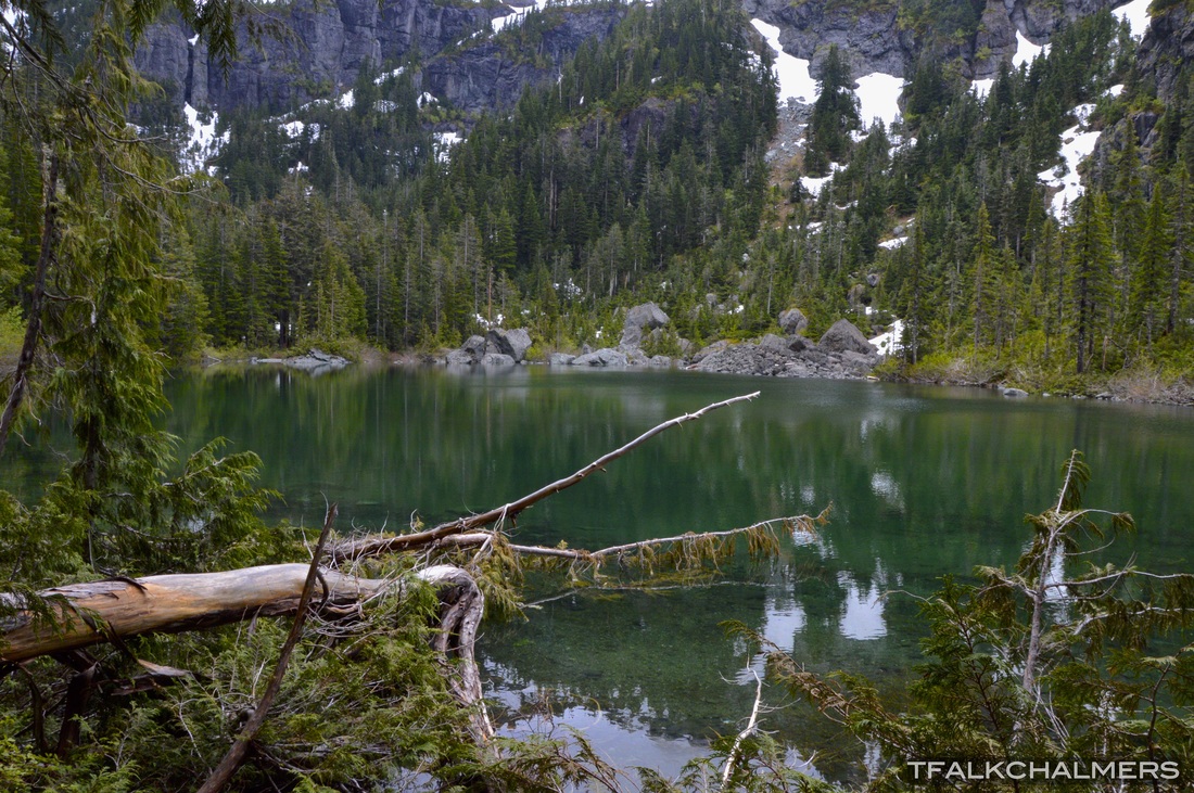
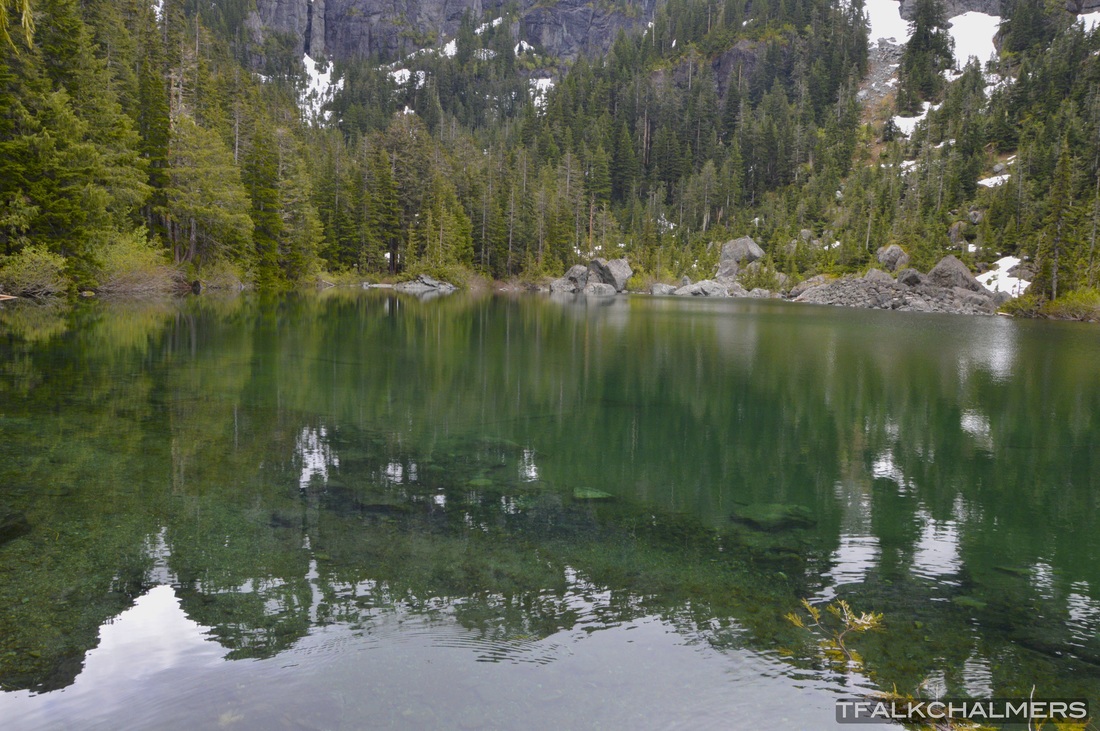
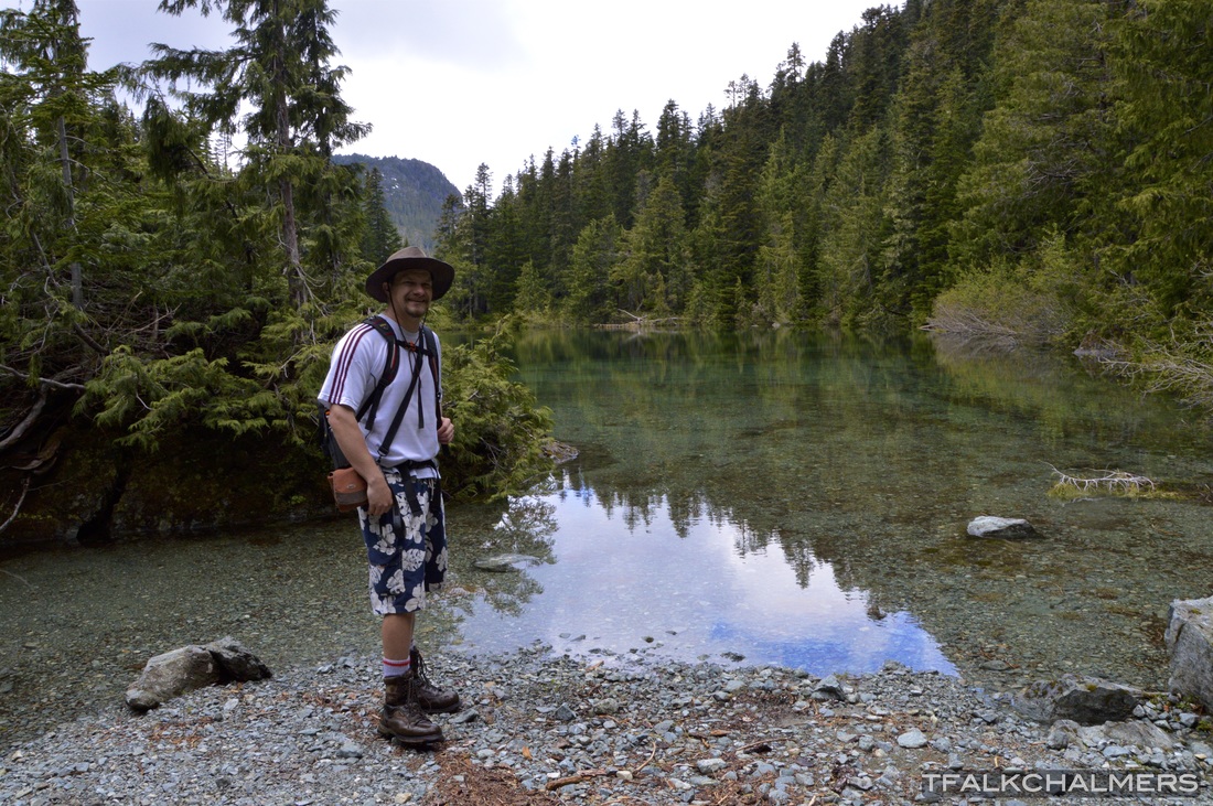
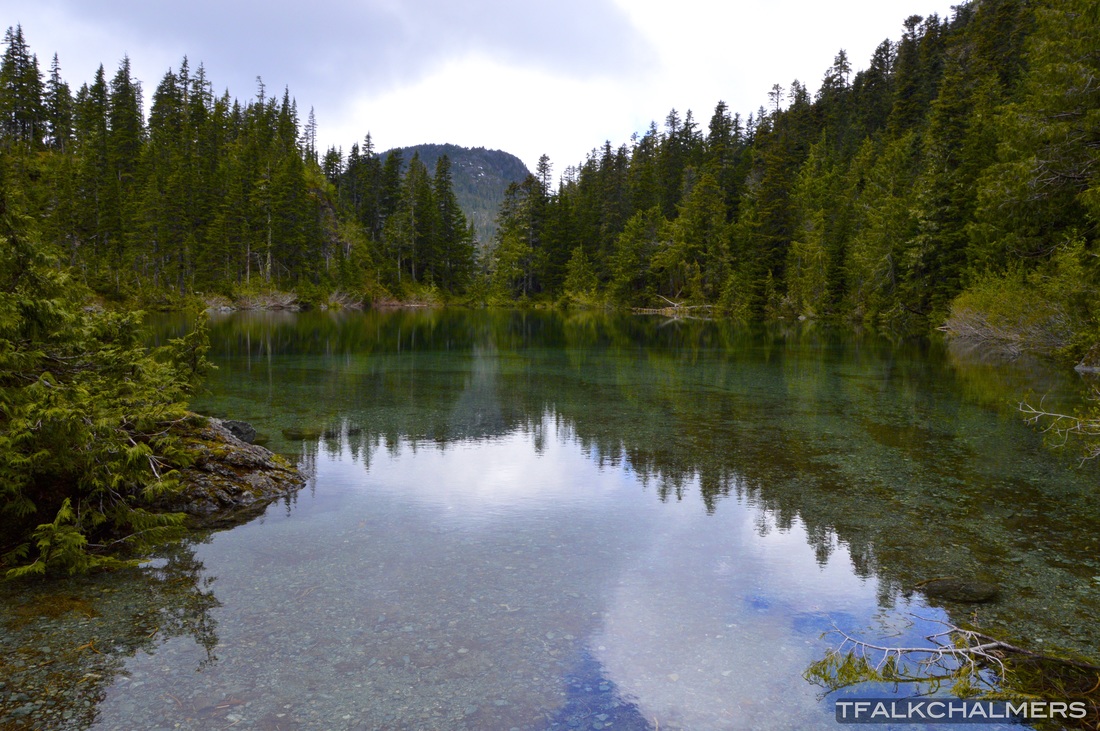
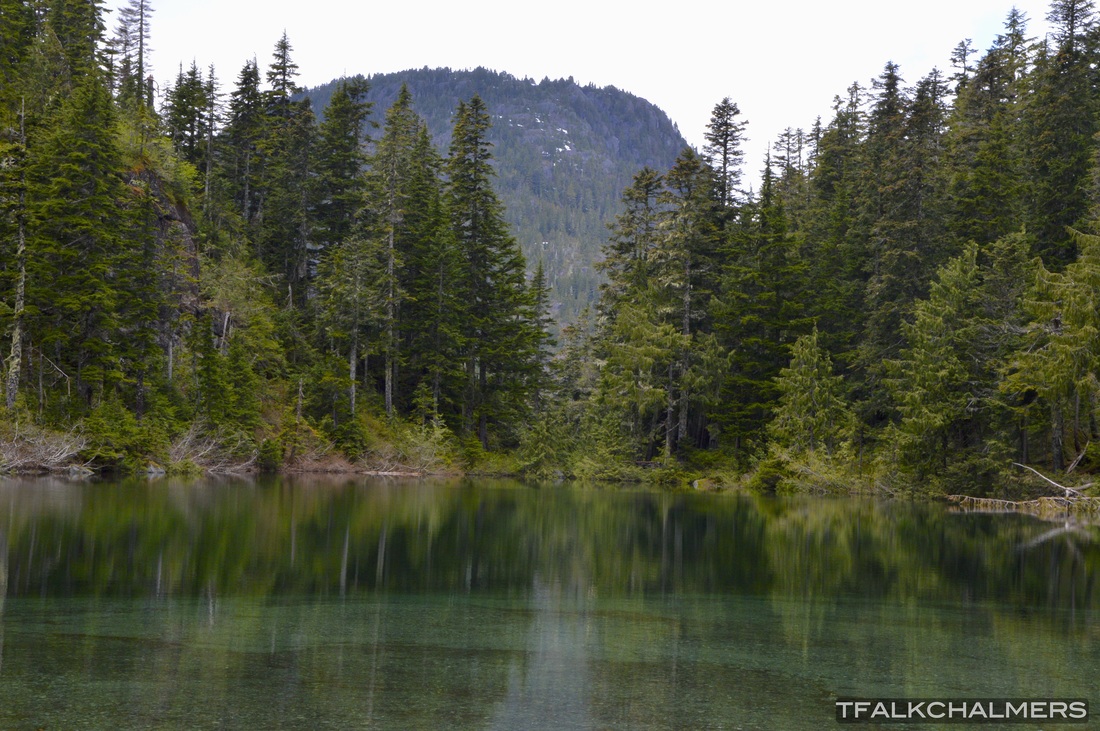
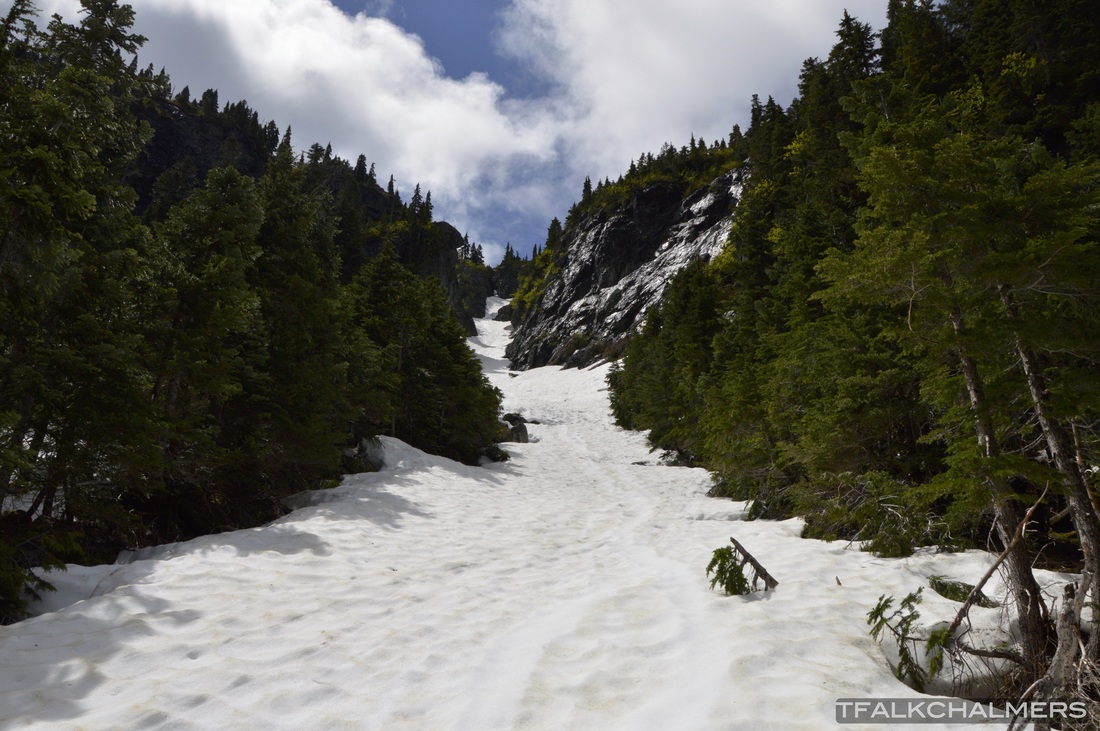
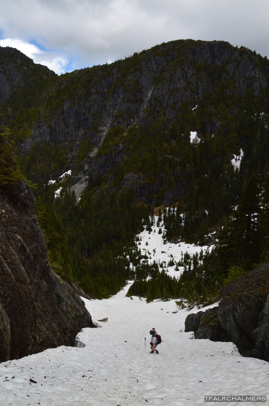
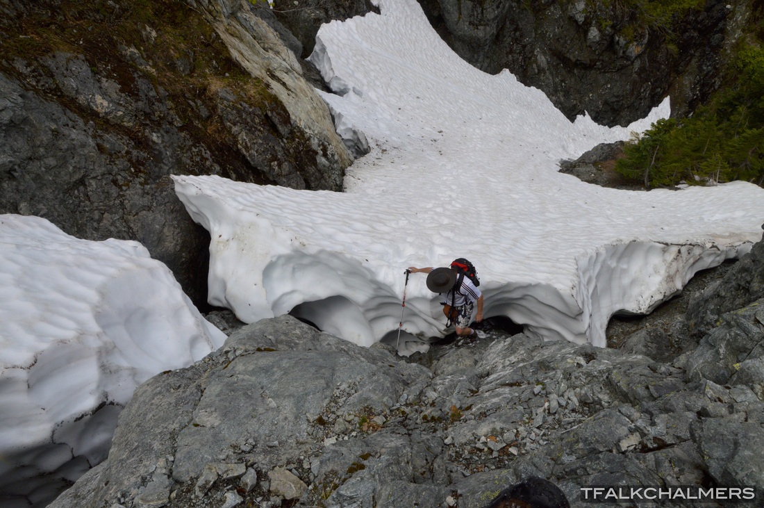
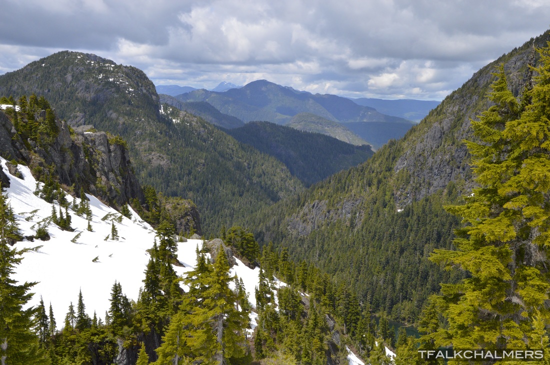
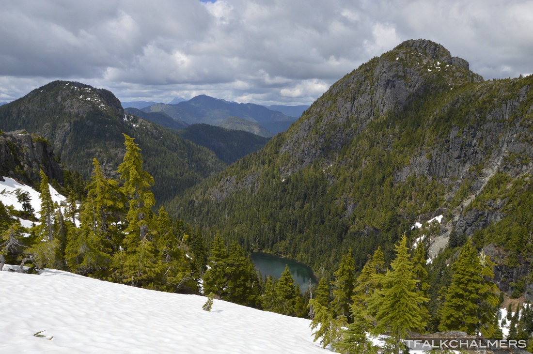
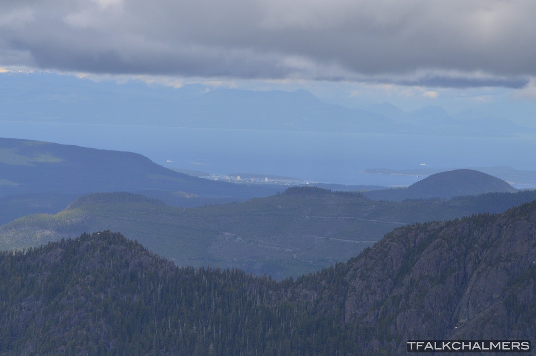
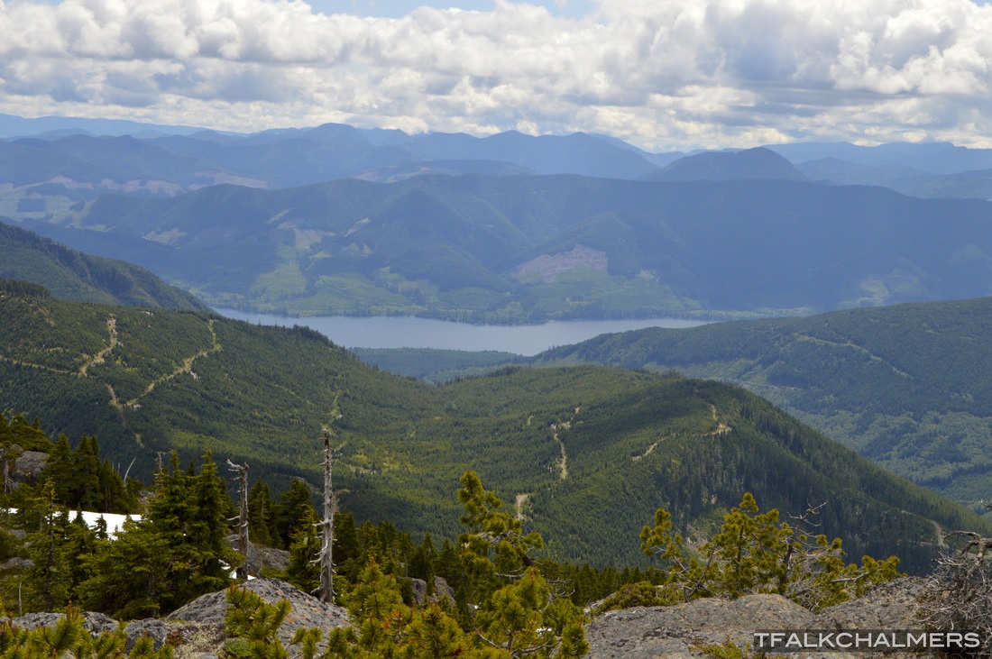
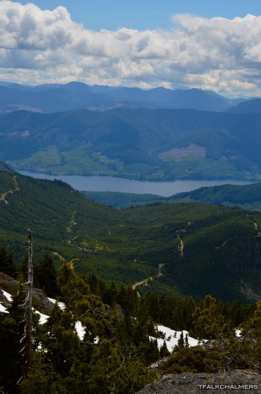
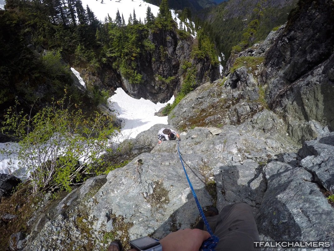
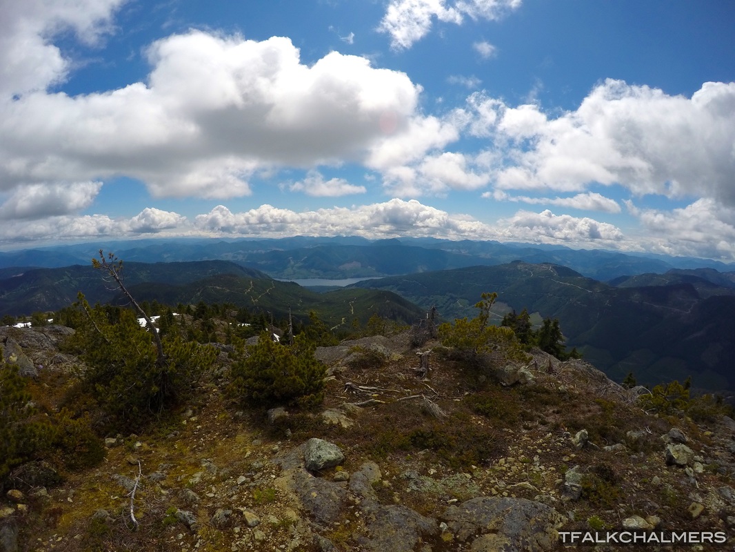
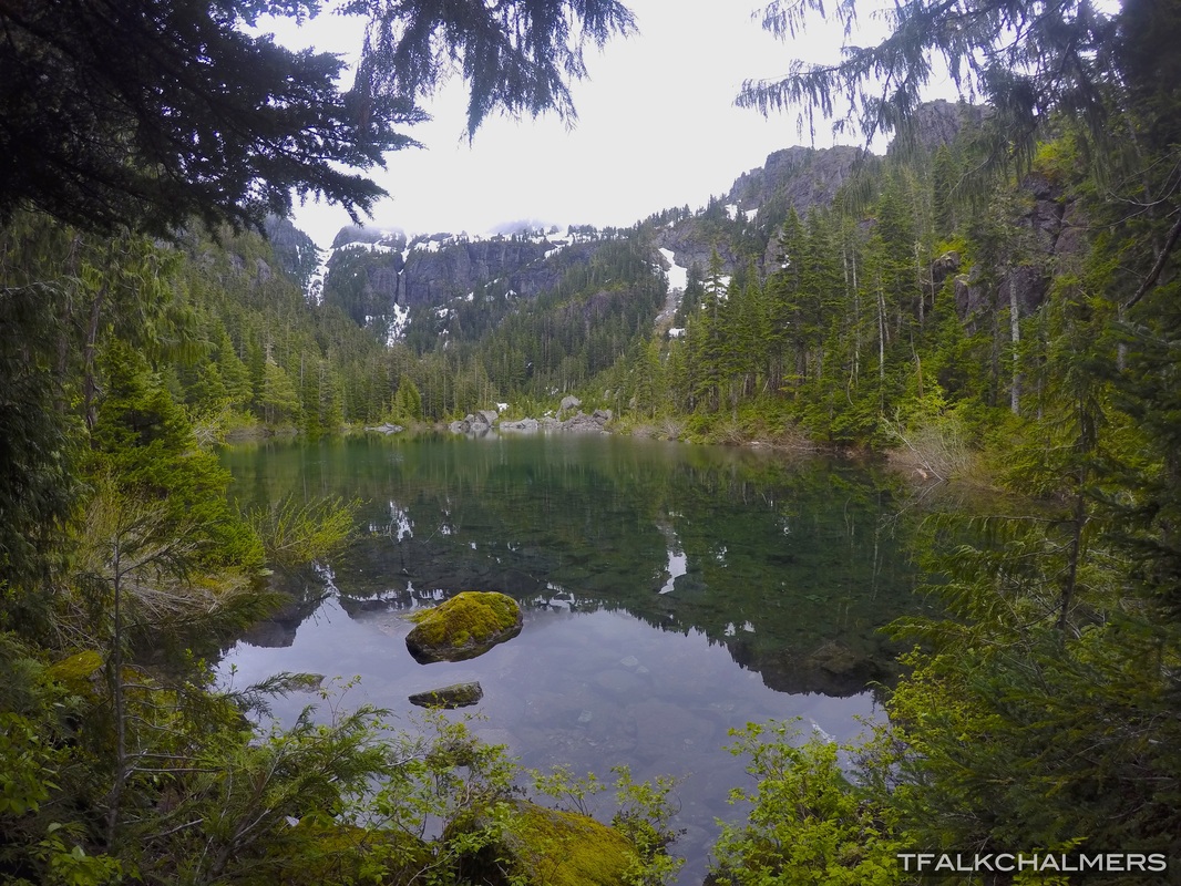
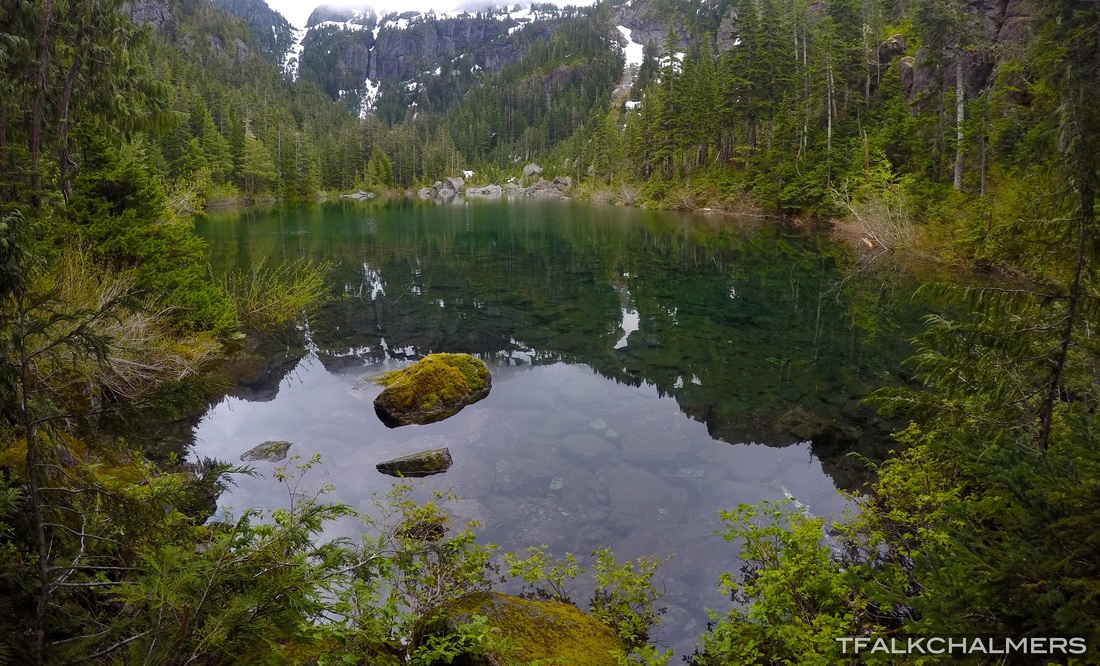
Mount Landale/Lomas Lake
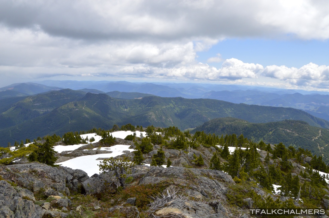
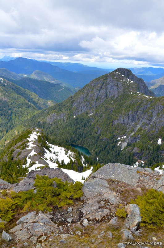
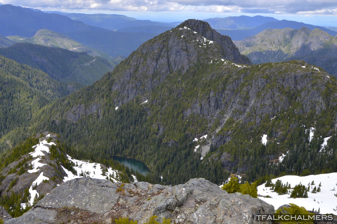
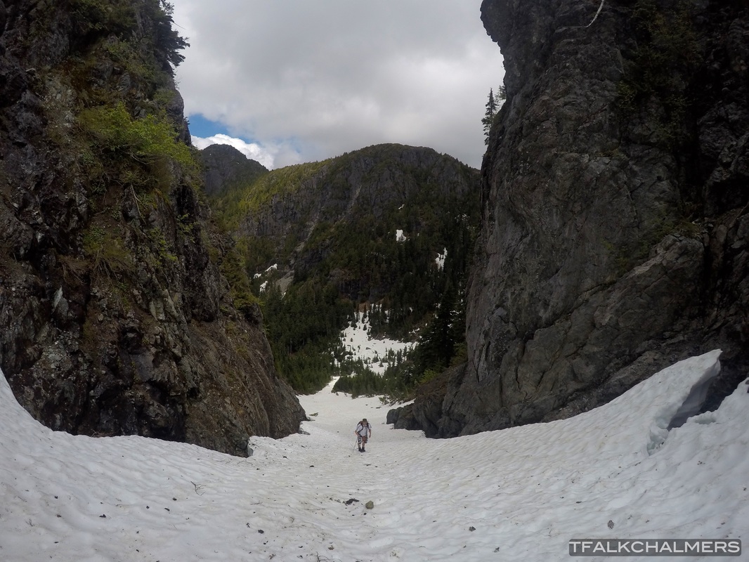
For a total distance of 25km from start to finish and 9 and a 1/2 hours, hiking Mount Landale was my longest day hike, yet. The hike begins 2km onto the logging roads past Youbou on the Cottonwood M/L road, after 5k walking alongside Cottonwood Creek, passing small waterfalls, potholes on the creekside and carved out sections of rock by the flowing water, you will have to cross a downed tree where the bridge used to be. Soon after the crossing, the trail parts from the creek and continues on upward, passing through dense forests full of large trees, alongside small creeks and waterfalls, through switchbacks and along rock faces with a view of the valley below. After about 12k total, at an elevation of 1100m, the trail comes to a small lake known as Lomas Lake, with a beautiful green shade surrounded by trees and snow covered mountains which feed the lake. Along the backside of the lake, there are multiple routes to the summit of Mount Landale which I personally think was the hardest part, only because the route I took went from a steep hike up the snow to a technical rock climb where the snow ended, but sometimes the snow pack is the easiest route, although it can be quite steep and slippery at times. After about 500m from the lake, and another 200m elevation, getting to the summit becomes much easier, and much less steep. From this point, only about 3km walking up the mountain, complete with a view of Lomas and the surrounding peaks to your back will take you to the summit of Mount Landale. At the top, in front you can see a section of Cowichan Lake next to Youbou, the valley with the trail to Lomas Lake, and many more mountains around the lake. If you turn around and look behind you, in the distance you can see downtown Nanaimo as well as the occasional ferry coming in or out, and as far as Vancouver on a clear day. The easier route down from the summit is on the Cowichan Lake side, continuing straight towards the lake down the mountain side will bring you to a logging road to follow down for a short period until you take the trail down to the next logging road complete with unobstructed views of lake Cowichan, which will take you all the way to Widow M/L, the other side of Cottonwood Creek, only 50m from the start.